Richardson Hwy Flood Photos
 This is a friends cabin at 57 mile Richardson Hwy. She isn't there and her cabin looks to be fine, considering. It is full of antiques including an old wood cook stove she uses exclusively.
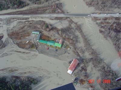
 This is the Tonsina River Lodge at 79 mile Richardson. It sits next to Squirrel Creek Campground and at the bottom of steep hill grade of 8%.
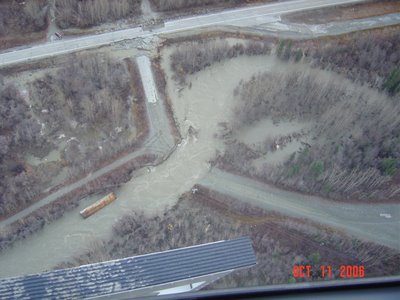
 This is a pipeline access road that wiped out.
 Another picture of the Richardson Hwy at mile post 59.

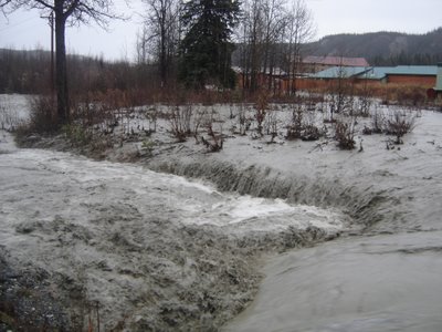
This is a shot behind the Tonsina River Lodge. Crews are working around the clock to restore and open the Richardson Hwy. Outlook~it could be 2 weeks before the highway reopens.
Photos posted at the Public Information Office website at http://www.dps.state.ak.us/pio/releases/resources/Richardson%20Highway/


2 comments:
Wow, that is just amazing. I can't believe this is actually happening to two different places here in alaska. I've been meaning to get online and ask you how this is effecting you and the mr. Is there an alternative drive in or out of Valdez until the road is fixed? Hope you guys are doing ok from all this, and keeping you both in our prayers.
Thank-you K. We are doing fine. Mr. FishTaxi is working long hours as he works for a company that is supplying the big equipment needed to fix the roads.
The only way out of here is by plane or by ferry. I'm going to fly out next week to Boise...I hope!
Post a Comment